Kalymnos topoguide 2.8
Paid Version
Publisher Description
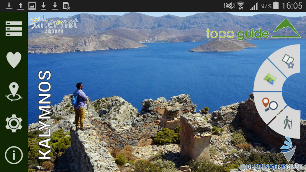

Kalymnos topoguide is a digital field guide for hiking and tourism in Kalymnos Island. The app is the result of a join venture of AnaDigit and the alternative tourism company Alternet-Greece.
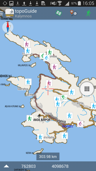
It includes routes, descriptions and photos for 16 hiking trails and 4 bike rides. Each trail has an elevation profile, a statistic analysis, a detailed description, several photos and a POIs list.
Kalymnos is famous worldwide for its endless climbing terrains and the almost 3000 routes it offers. Kalymnos topoguide provides a list of the climbing sectors and information and maps for their approach.
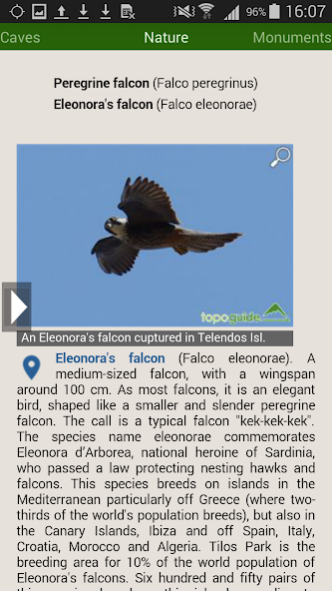
The application offers detailed off-line maps and an extensive introduction on geography, geology, the most important settlements and monuments, and the nature of Kalymnos Island. The app offers also a useful list of POIs (most island's accommodations are included) with a comprehensive search engine.
In the field, the application identifies the nearest route and make active navigation to it and then along it, with continuous messages to the user, while pops-up photos on every interesting or important terrain feature close to his position. If the hiker position is more than 20 meters far from the trail, the application warns him and suggests how to go back.
The cartographic company AnaDigit, creator of the application, has issued hundreds of hiking maps for Greece (eg. maps of Kalymnos,Santorini, Crete, Mt. Olympus, Zagori, Sifnos, Naxos and other Aegean islands). To build the application and ensuring data accuracy, all tracks and cartographic information have been recorded during July 2016.
About Kalymnos topoguide
Kalymnos topoguide is a paid app for Android published in the Geography list of apps, part of Education.
The company that develops Kalymnos topoguide is AnaDigit. The latest version released by its developer is 2.8.
To install Kalymnos topoguide on your Android device, just click the green Continue To App button above to start the installation process. The app is listed on our website since 2021-05-13 and was downloaded 7 times. We have already checked if the download link is safe, however for your own protection we recommend that you scan the downloaded app with your antivirus. Your antivirus may detect the Kalymnos topoguide as malware as malware if the download link to anadigit.adventures.kalymnos is broken.
How to install Kalymnos topoguide on your Android device:
- Click on the Continue To App button on our website. This will redirect you to Google Play.
- Once the Kalymnos topoguide is shown in the Google Play listing of your Android device, you can start its download and installation. Tap on the Install button located below the search bar and to the right of the app icon.
- A pop-up window with the permissions required by Kalymnos topoguide will be shown. Click on Accept to continue the process.
- Kalymnos topoguide will be downloaded onto your device, displaying a progress. Once the download completes, the installation will start and you'll get a notification after the installation is finished.
